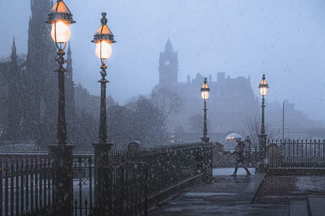
Parts of UK set for sub-zero temperatures, snow and 70mph winds this week


Temperatures are set to plummet to sub-zero this week in the UK following an unusually warm October.
It will remain in single digits for the most part of Monday (8 November) and forecasters predict freezing conditions will continue until the weekend.
Advertisement
Hide AdAdvertisement
Hide AdMeanwhile, Storm Wanda is set to hit the UK from tomorrow (9 November) bringing heavy rain and winds.
The Met Office said: "The unsettled weather picture continues mainly for northern England and Scotland with further spells of wet and windy weather at times.
"These will slowly spread southwards and weaken through Tuesday and into Wednesday. Conditions generally drier in the south with temperatures around then becoming above normal for the time of year.”
The Met Office added: “From next week the weather will get even colder with freezing conditions expected in north England with -2C expected in cities, and -1C in South Wales.
Advertisement
Hide AdAdvertisement
Hide Ad“Much of the rest of the country - including the Midlands, the south of England and London - will hit 0C.”
What is Storm Wanda?
A US National Hurricane Centre map has shown a tropical storm, called Storm Wanda, is heading for the UK from Tuesday 9 November.
It will bring very heavy rain and sustained winds, with the Met Office issuing a flood warning for parts of the country.
Meteorologists predict gales of up to 70mph as Wanda could hit the UK and Ireland early this week.
UK forecast for the week
Monday 8 November
Advertisement
Hide AdAdvertisement
Hide AdIt will be cloudy for most areas with potential spells of rain and drizzle in the north and west, particularly in western Scotland.
There will be brighter weather at times in the east, largely in the morning.
It will remain dry in eastern and southern England.
Into the evening it will stay cloudy with mild temperatures. It will be windy with some rain at times in the north and west of England.
Tuesday 9 November
In the morning there will be some early rain in Scotland and Northern Ireland. But this will clear leaving sunny spells and showers.
Advertisement
Hide AdAdvertisement
Hide AdEngland and Wales will see cloudy conditions with some rain developing in the north and west.
Wednesday 10 - Friday 12 November
A band of rain is expected in the south with showers and strong winds in the north on Wednesday.
Mist and fog will appear overnight on Wednesday evening.
There will be further rain in the northwest of England on Friday with temperatures near or above normal.
When will snow hit?
According to WXCharts, some areas of the country will see snow as early as mid-November.
Advertisement
Hide AdAdvertisement
Hide AdThe weather forecaster has predicted that the first flurries will begin in the early hours of Tuesday 16 November, the Daily Star reports.
Light snowfall is expected below Inverness in northern Scotland, and this will travel down to Edinburgh.
The snow forecast continues to expand throughout the evening battering large areas of the north and areas to the east of Aberdeen.
Some areas in northern England are also at risk.
On 17 November areas north of Manchester and in North Wales are expected to see some snow flurries too, as could small areas of Northern Ireland and areas below Dublin.
A version of this article originally appeared on NationalWorld.com