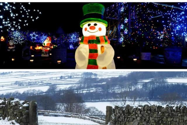
Will it be a white Christmas in Harrogate this year? The odds are tumbling, but are the temperatures?


The last official white Christmas came in 2010 when widespread snowfall was witnessed across Northern Ireland, Scotland, parts of Wales, the Midlands, north-east and south-west England.
Advertisement
Hide AdAdvertisement
Hide AdNow the Met Office has teamed up with Barratt Homes to put a Winter Weather Calculator together which offers predictions on the likelihood of whether snow will fall this festive season.
Official odds have been tumbling this week with one national newspaper revealing how betting prices had been slashed in all major UK cities as punters backed a white Christmas.
However, the experts are remaining cautious with one Met Office official warning that detailed forecasts are not entirely reliable this far away from the 25th.
The new Winter Weather Calculator, however, uses official Met Office data and analyses the past 25 years of winter weather to determine what conditions we are most likely to experience throughout this festive time of the year.
Advertisement
Hide AdAdvertisement
Hide AdHarrogate currently has a 12% chance of snow, with the calculator instead predicting that December 22 was more likely to see some falls of the white stuff.
The definition that the Met Office uses to define a white Christmas is for one snowflake to be observed falling in the 24 hours of 25 December somewhere in the UK.
"Traditionally we used to use a single location in the country to define a white Christmas which was the Met Office building in London," a Met Office spokesperson said. "However, with the increase in betting on where will see a white Christmas, the number of locations have increased and can now include sites such as Buckingham Palace, Belfast (Aldergrove Airport), Aberdeen (Pittodrie - Aberdeen FC), Edinburgh (Castle), Coronation Street in Manchester and the Millennium Stadium in Cardiff. We also analyse the data from our observing stations around the UK to provide a complete picture of where snow has fallen or was lying on Christmas Day.
"We can accurately forecast if snow is likely on any given Christmas Day up to five days beforehand. In terms of the statistical likelihood of snow based on climatology, we know that a snowflake has fallen somewhere in the UK on Christmas Day 38 times in the last 54 years, so we can probably expect more than half of all Christmas Days to be a 'white Christmas'.
Advertisement
Hide AdAdvertisement
Hide Ad"However the Dickensian scene of widespread snow lying on the ground on Christmas Day is much rarer. There has only been a widespread covering of snow on the ground (where more than 40% of stations in the UK reported snow on the ground at 9 am) four times in the last 51 years."
Another white Christmas predictor, which is slightly less scientific, the 'Will I get a White Christmas in 2018' website has given Harrogate a 25% chance of a white Christmas.
Experts at The Weather Outlook website have also been doing some work on predicting snowfall.
The Weather Outlook says it based its research on 'computer models and the weather patterns during the autumn'... the raw data is updated and collated daily.
Advertisement
Hide AdAdvertisement
Hide AdThe TWO website states: "Our countdown began on September 1st and we're now over 80% of the way there. It will soon be time for the home run and this time next week Christmas will be coming into range of the GFS computer model. Once that happens our daily updates start and continue until it is possible to make a weather call on big day.
"So will Santa be arriving to a winter wonderland this year? The possibility of snow is considered higher than normal."
The site explains its primary reasons for a higher expectation of snow:
1) Medium range data is pointing towards a more blocked weather pattern returning during the middle part of December. That suggests a likelihood of colder periods.
Advertisement
Hide AdAdvertisement
Hide Ad2) Since the Sudden Stratospheric Warming (SSW) in February there has been an ongoing signal for high pressure blocks to have more influence on the UK's weather than normal. In the late winter and early spring northern blocking led to widespread snow as the Beast from the East made its presence felt. That was followed by one of the warmest summers on record in the UK due to the persistence of anticyclonic conditions. As we head through the meteorological autumn the elevated signal for high pressure still appears to be present.
3) Some of the latest seasonal model updates are pointing towards a colder than average winter.
So there we have it. While a white Christmas has not been confirmed, it has also not been ruled out just yet.
We will know more in the coming weeks.