What will the weather be like over the weekend across the Harrogate district?
and live on Freeview channel 276
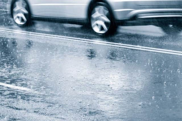
A Met Office yellow weather warning remains in place across the Harrogate district today as Storm Eunice is set to cause disruption across the region.
Here is how the weather forecast looks as we head into the weekend:
Afternoon:

Advertisement
Hide AdAdvertisement
Hide AdStorm Eunice will bring rain showers arriving from the west, with the chance of snow on the hills
Strong winds may cause some disruption with the chance of some damage to trees and also buildings
There is a chance of longer journey times or cancellations as road, rail, air and ferry services are affected
A maximum temperature 6 °C
Tonight:
Further bands of rain and hill snow moving across the region overnight
Winds will continue to ease, after early gales in places
It will be cold with a local ground frost and some ice
A minimum temperature of -1 °C
Saturday:
Advertisement
Hide AdAdvertisement
Hide AdA cold and bright start to the morning with some wintry showers, mainly on the hills
An area of rain and hill snow is likely to arrive from the west during the afternoon
A maximum temperature 8 °C
Outlook for Sunday to Tuesday:
Early rain, heavy at times, clearing to blustery showers is forecast on Sunday
Widespread gales will continue to hit the region
Windy with sunny spells and wintry showers on Monday
Rain clearing to showers on Tuesday