Met Office issue level two heat-health alert across Harrogate district
and live on Freeview channel 276
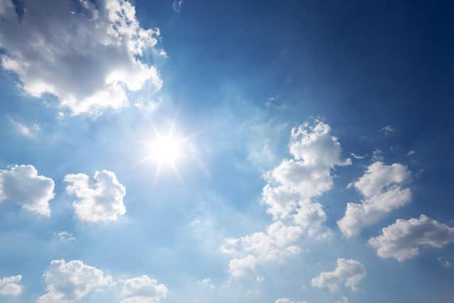
Temperatures across the Harrogate district are expected to reach 29°C today (July 11), with high temperatures also expected for the rest of the week.
A level two warning is triggered as soon as the risk is 60% or above for threshold temperatures being reached in one or more regions on at least two consecutive days and the intervening night.
Advertisement
Hide AdAdvertisement
Hide AdNorth Yorkshire County Council said: "While enjoying the good weather, please look out for family, friends or neighbours who may struggle to keep themselves cool and hydrated."

Here is what the weather forecast looks like for the rest of the week according to the Met Office...
Today (July 11)
A dry and very warm to hot day to follow with long spells of sometimes hazy sunshine, and generally light winds.
Maximum temperature - 30°C
Pollen - Very High
UV - High
Tonight (July 11)
Staying dry overnight with some clear spells, although there will be increasing amounts of higher level cloud
Temperatures remaining warm
Minimum temperature - 18°C
Tuesday
Advertisement
Hide AdAdvertisement
Hide AdA generally cloudier day with more of a breeze but still feeling warm
Maximum temperature - 23°C
Pollen - High
UV - M
Wednesday
Mainly dry with sunny spells and feeling fresher
Maximum temperature - 20°C
Pollen - Very High
UV - H
Thursday
Mainly dry with sunny spells and feeling fresher
Maximum temperature - 19°C
Pollen - Very High
UV - High
Friday
Dry with very warm sunny spells
Maximum temperature - 20°C
Pollen - Very High
UV - High
Saturday
Maximum temperature - 24°C
UV - High
Sunday
Maximum temperature - 27°C
UV - High
For a full weather forecast, head to https://www.metoffice.gov.uk/