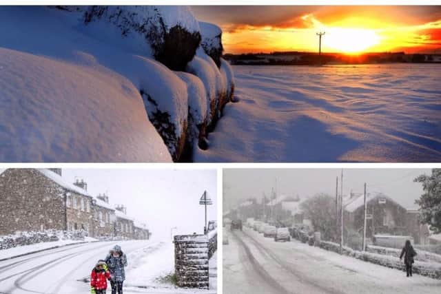
Weather warnings extended through to Friday in Harrogate district as icy snap threatens snowy blast


Will Sean Bean star as Knaresborough legend in Blind Jack: The Movie?Snow is expected to fall over the coming four days as an icy blast hits the region, seeing temperatures drop to below freezing.
Four separate yellow weather warnings have been issued which cover most of the UK for the coming week, with Harrogate more likely to see snow on Thursday and Friday.
Advertisement
Hide AdAdvertisement
Hide AdFlurries were experienced in the north of England on Tuesday morning with Cumbria worst hit, while the Harrogate district only saw periods of wintry rain and sleet.
However, the Met Office has warned that snow is expected as we progress through the week.
Harrogate and North Yorkshire councils to dip into £40m Brexit planning poolHere is what the Met Office warnings are saying:
Tuesday and Wednesday: Between 12:00 Tue 29th and 11:00 Wed 30th
Advertisement
Hide AdAdvertisement
Hide AdRain turning to snow, especially on hills, then turning icy.
A band of rain will arrive across Wales, northern and western England through the middle of Tuesday, then move eastwards through Tuesday afternoon and evening.
The rain will turn quickly to snow on hills, then also to low levels in places. 3 to 5cm of snow is likely above 200 metres, with up to 10cm in a few places.
A patchy covering of 1 to 2cm is possible at low levels, although some places will see no snow at all. As skies clear overnight, ice is likely to form on some surfaces.
Advertisement
Hide AdAdvertisement
Hide AdIn addition, wintry showers will follow into western areas on Wednesday morning, giving further slight accumulations of snow in a few places.
AppyParking in Harrogate: Smart parking system trial officially launchesThursday and Friday: Between 15:00 Thu 31st and 12:00 Fri 1st
Snow and ice may bring disruption to parts of England and Wales from Thursday afternoon through to early Friday.
There is a small chance of travel delays on roads with some stranded vehicles and passengers, along with delayed or cancelled rail and air travel. Some rural communities could become cut off and there is a chance that power cuts will occur and other services, such as mobile phone coverage, may be affected. There is a small chance of injuries from slips and falls on icy surfaces
Advertisement
Hide AdAdvertisement
Hide AdRain and snow is expected to move in from the southwest, moving across England and Wales through Thursday into Friday.
This is likely to fall as heavy rain at first across the far southwest of England, but as it meets the cold air established over the rest of the country snow becomes more likely.
There is a chance of 2-5cm of snow for some places, timings are currently uncertain. Up to 10cm is possible in places, though there is uncertainty at this stage on where is most likely to see the greater snowfall accumulations.
The best performing secondary schools in the Harrogate District for Progress 8 scores according to government figuresOvernight Thursday into early Friday ice may also become a hazard on any untreated surfaces as temperatures fall below freezing.
Advertisement
Hide AdAdvertisement
Hide AdA spokesperson for The Weather Channel said: “It will be a cold and changeable week ahead with overnight frosts, periods of rain or snow.
"Temperatures will be below-normal and feel below freezing. There is a risk of snow falling to lower levels on Tuesday and Thursday and accumulation of 3-7cms.”