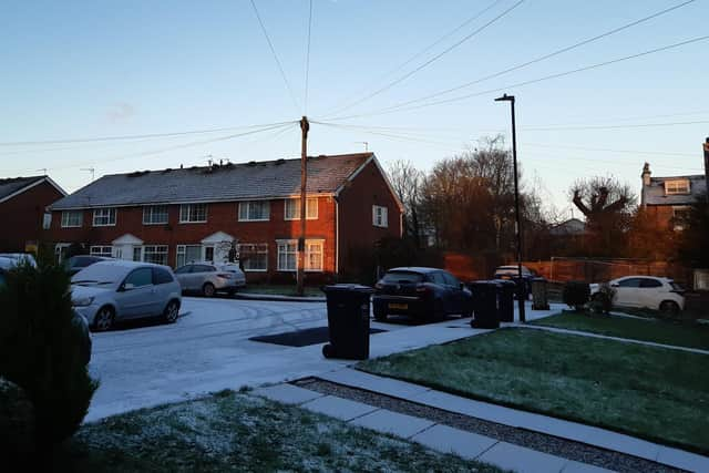
Snow showers fall on Harrogate for first time this winter and the cold snap is here to stay
and live on Freeview channel 276
A yellow warning for snow and ice has been issued for the Harrogate area with, potentially, icy patches and hazardous conditions.
The winter weather has seen sleet and snow in the south-west and parts of the north-east today but Harrogate has been spared the worst.
Advertisement
Hide AdAdvertisement
Hide AdThe few centimetres of snow on the town’s road have all but disappeared on the main roads with traffic flowing freely.


But the pavements and side streets in residential areas retain a light dusting of ice and snow.
There will not been much warming up going on as forecast predict the wintry weather is here for the next week.
Today will see a mixture of variable cloud, bright spells and the risk of scattered snow showers on higher ground drifting in from the east at times.
Advertisement
Hide AdAdvertisement
Hide AdThe temperature in the Harrogate area will remain at two degrees this morning but will fall during the afternoon, dropping to zero by 6pm before it goes sub zero.
By 11pm, it's down to minus one where it stays all night.
Tomorrow morning is expected to begin at minus one at 9am, briefly rising to two degrees by 2pm, before returning to minus one at 5pm, followed by minus two overnight Friday-Saturday.
There’s no let-up from the cold snap over the weekend.
Temperatures will start rising on Monday but will struggle to get above five degrees next week.