
Big winter freeze for Harrogate as schools go back after the festive season
There was a snow scare last night in Harrogate as pupils, parents and teachers get ready for the return to school this week after Christmas.
While snowfall and ice have forced the closure of hundreds of schools in Scotland, Wales, and Northern Ireland and disrupted travel across the UK, the Harrogate area has escaped the worse of the Arctic cold snap.
A very minor covering of snow in Harrogate around 9pm last night was followed by another cold night.
But, as the daily commute started again this morning, the light sprinkling had disappeared.
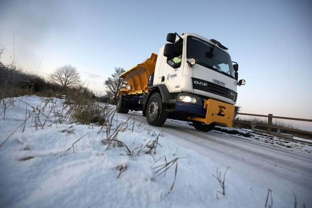

The wintry conditions in Harrogate will continue for the week ahead but the Met Office or the BBC are divided on whether any proper snow will hit the area in the next seven says, though sleet showers are expected at the least.
Today, Monday, will be sunny and bright but bitterly cold with maximum temperatures veering between 3C and 4C.
In terms of temperature, that will be the trend all week with it rarely feeling above freezing in the context of wind chill from the north.
Tomorrow, Tuesday, is where the debate is with the BBC predicting sleet showers while the Met Office forecasts snow.
On Thursday, the forecast is for light rain.
Friday will see the return of sleet showers.
Saturday will resume the pattern of sunny and bright but bitterly cold.
Temperatures will rise to 5C on Sunday where they will stay for most of next week when light rain will be a regular feature.