Met Office warning for snow and ice issued across Harrogate district as temperatures are set to plummet
and live on Freeview channel 276
The Yellow Warning - which means the conditions are likely to have some impact on travel and that caution must be taken - has been announced from 6pm Monday evening through to 10am on Tuesday.
Advertisement
Hide AdAdvertisement
Hide AdThe Met Office website states that the cold blast could see widespread forming of ice and snow is expected in some parts, although this is mainly expected on higher ground.
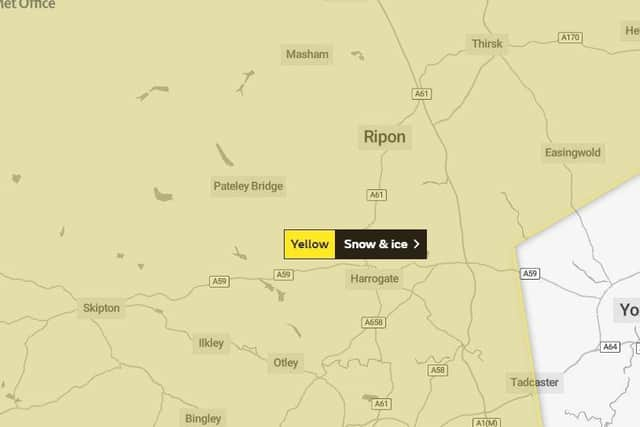

Temperatures will drop below freezing point to -2C.
The warning states: "Ice is likely to form on untreated surfaces during Monday night, especially where showers move well inland.
"Some of the showers will be wintry and could produce 2 to 5 cm lying snow above 250 metres, mostly over the Pennines and North York Moors where up to 10 cm is possible.
"Elsewhere, most places will see little or no snow, but a slight covering of a centimetre or so is possible in a few places."
Advertisement
Hide AdAdvertisement
Hide Ad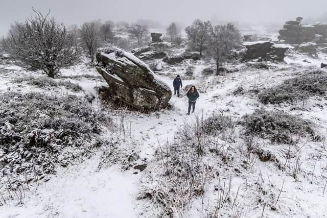
While the warning only covers Monday through to Tuesday morning, the forecast for the week ahead is for the chilly blast to continue with minimum temperatures ranging from -3C to 1C.
The prospect of possible snowfall returns on Sunday afternoon, although once again it is not expected to be a significant amount.