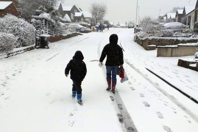
Mercury set to drop as Yorkshire freezes again


The mercury is set to drop across the region over the next few days, as a cold weather system makes its way up the country from the south east.
The worst of the sleet and snow could hit parts of South Yorkshire, and higher ground and moors across the region on Saturday - with some expected on Thursday too.
Advertisement
Hide AdAdvertisement
Hide AdMeteoGroup forecaster Chris Hogan said: "It's getting colder across the region over the next few days. There's a little chance tomorrow (Thursday) of snow and sleet on the highest ground and moors - but the greatest chance of snow is coming in on Saturday day time.
"At the moment it's not looking like extensive snow in the region, the frontal system will mainly be affecting North Wales and parts of the Midlands, but as the front pushes across it will cusp the bottom of Yorkshire."
Wednesday's weather is expected to be cold, with showers in the morning drying out as we head into the evening - though there is a chance of some scattered wintry showers towards dawn.
Thursday is looking rather cloudy and breezy with one or two wintry showers at first, though becoming dry with lighter winds by the afternoon, with sunny spells developing. Feeling chilly with a maximum Temperature 5°C.
Advertisement
Hide AdAdvertisement
Hide AdFriday will be dry with light winds and some bright spells. Saturday is set to be breezier with wintry showers, especially in South Yorkshire, and on higher ground, and feeling chilly in onshore winds. Sunday is expected to be drier, but still feeling cold in strengthening onshore winds.